(CNN) — A major winter storm blasting much of the central and eastern US is bringing record-breaking temperature drops and harsh snowy conditions that have resulted in flight cancellations, highway closures, and several state emergency declarations.
The storm is touching nearly every state, with more than 100 million people across the US currently under winter weather and wind chill alerts, which the National Weather Service is calling a "once in a generation type event."
As an arctic front shifts to the east, record-breaking temperature drops are being observed.
Denver saw a 24-degree drop in temperature in just seven minutes Wednesday afternoon. A 37-degree drop in temperature over one hour at Denver International Airport is preliminarily the biggest ever recorded at that location, according to the National Weather Service in Boulder.
And Cheyenne, Wyoming, saw a 30-degree drop in temperature in only 10 minutes and a record-breaking 43-degree temperature drop in one hour.
Georgia Gov. Brian Kemp declared a state of emergency Wednesday, saying, "Communities across the state are about to see temperatures that they haven't experienced in a decade or more."
Oklahoma Gov. Kevin Stitt and Kentucky Gov. Andy Beshear also declared states of emergency Wednesday, and Maryland activated emergency response operations ahead of the winter storm.
More than 1,240 flights have been canceled across the US, according to the flight tracking site FlightAware, snarling air travel amid the busy holiday season.
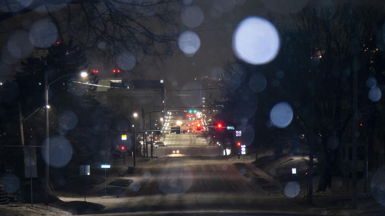
And conditions on the road weren't any better in many areas. Thursday is expected to be the most difficult day for travel as the storm pummels the Midwest with heavy snow and strong winds.
Nearly zero visibility on the roads led to many highway closures between Colorado and Wyoming Wednesday. The Wyoming Highway Patrol said it responded to nearly 800 calls for service in a 12-hour period Wednesday, telling motorists to stay off the roads.
In South Dakota, more than 100 vehicles were stranded on snow-covered roadways under low visibility conditions Wednesday night, the Pennington County Sheriff's Office said.
Even Florida won't be spared with residents of the Sunshine State seeing sudden temperature drops Friday. Major cities in the South — including Nashville, Memphis, Birmingham Alabama, and Jackson Mississippi — are expected to see snow Thursday.
The storm is expected to become a "bomb cyclone" Thursday evening into Friday, reaching the pressure equivalent of a Category 3 hurricane as it moves into the Great Lakes.
What to know about the polar plunge and bomb cyclone
• There is a winter, wind chill, freeze, coastal, or wind alert in 44 of the lower 48 states.
• The most widespread weather hazard over the next few days will be the dangerous cold. Wind chill alerts are in effect for more than 25 states stretching continuously from the Texas Gulf Coast to the US-Canadian border. The wind chill Wednesday night could drop to minus 70 degrees in parts of Wyoming, a low reading rarely seen in the US.
• Denver is warning about the "life-threatening" cold. The city went from a temperature of 42 degrees with a wind chill of 32 at 3:53 p.m. Wednesday to a temperature of minus 9 and a wind chill of minus 30 at 8:30 p.m. — a 60 degree drop in temperature with respect to wind chill.
• An incredible 60 million Americans, or nearly 20 percent of the US population, will experience a below-zero temperature with this arctic blast. This includes cities like Denver, Kansas City, St Louis, Minneapolis and Chicago.
• Western Minnesota faces dangerous blizzard conditions and potentially deadly wind chills Thursday and Friday.
• Snow will start in Chicago around noon Thursday lasting into Friday morning. Several inches of snow, combined with wind gusts of 50 to 60 mph could lead to the first blizzard warning in Chicago in more than four years.
• The arctic front will push south into the Gulf of Mexico and sweep off the Eastern Seaboard by late Friday, bringing cold into the Deep South. Houston will spend nearly two days below freezing from Thursday evening to Saturday afternoon. The normal high this time of year in Houston is 64 degrees. Atlanta's forecast high on Saturday is 25, which would be the coldest on record for a Christmas Eve.
The-CNN-Wire
™ & © 2022 Cable News Network, Inc., a Warner Bros. Discovery Company. All rights reserved.
- Hallmark Shows The Importance Of Work-Life Balance In 'The 27-Hour Day' ›
- Meghan Markle and Prince Harry Help Texas Women's Shelter ›
- Six More Weeks of Winter? Six More Show Episodes to Binge Watch ›
- Winter Storms - Advocate Channel ›
- Is Climate Change Making a White Christmas Less Likely? ›
- 'Once in a Generation' Winter Storm Will Impact Nearly Every State ›
- Harsh Winter Storm Puts Migrants at Risk - Advocate Channel ›
- Winter Storm Death Toll Rises to 34 in Buffalo, New York ›